National Nature Park - Banpingshan
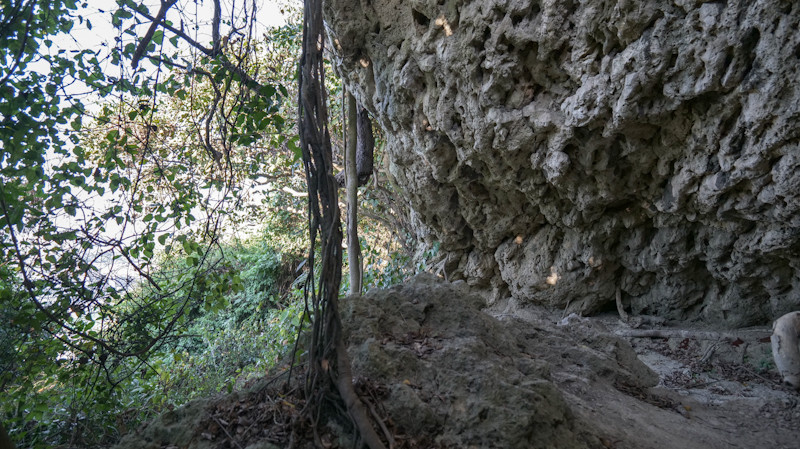
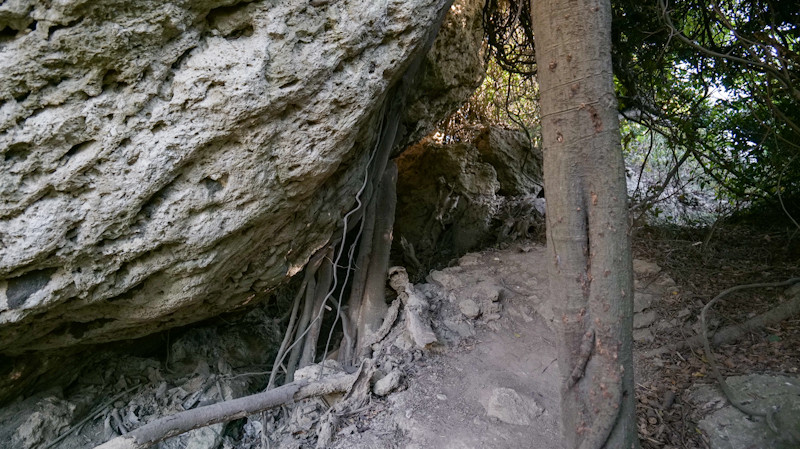
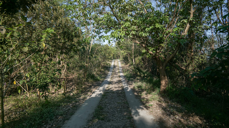
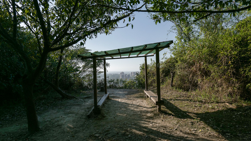
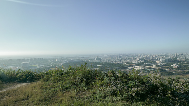
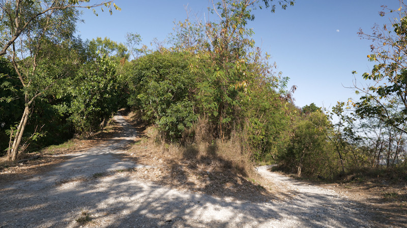
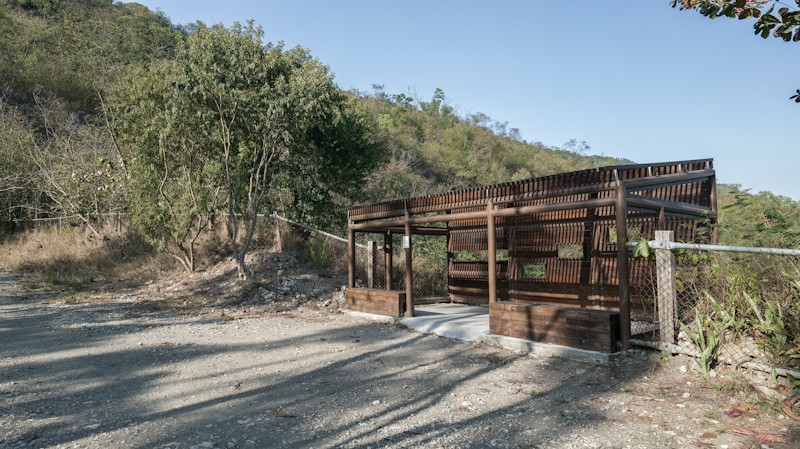
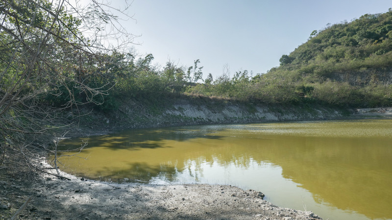
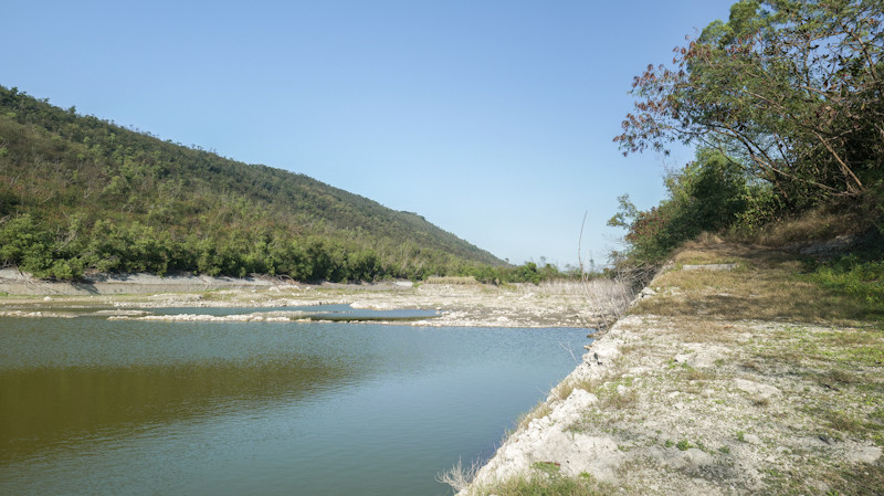
Banping Mountain spans Zuoying and Nanzih Districts in Kaohsiung, featuring a NE-SW orientation, \(\sim 2.7\text{\ km}\) length, and \(\sim 170\text{\ m}\) height. It features a natural park with trails and the seasonal "Banping Lake" wetland, a unique habitat attracting diverse bird species based on water levels. Here is the English translation: Banping Mountain spans the Zuoying and Nanzih Districts of Kaohsiung City, with its ridge running in a northeast-southwest direction. It measures approximately 2.7 kilometers long from north to south and is about 0.8 kilometers at its widest point, with the highest point reaching about 170 meters. The "Banping Mountain Natural Park" was planned for the northwestern side of the mountain, featuring public facilities such as wooden boardwalks, pavilions, and observation decks. On the southeastern slope, in addition to slope protection and greening, cement companies excavated flood detention and desilting basins to ensure water and soil safety, which were later planned as the "Banping Lake Wetland". The flood detention basin, also known as "Banping Lake," is a unique wetland habitat within the park. Its water source is natural rainfall, which is affected by the seasons. Combined with the limestone terrain that allows water to easily seep through, it experiences high water levels in summer and becomes dry in winter. Consequently, different water depths attract different bird species to inhabit the area.
基本資訊
地點: Cuihua Road, Zuoying District, Kaohsiung City。 Or Banpingshan Back Lane
拍攝日期: 2025-12-30
GPS定位: 22.693192, 120.303091
如何前往
By Car: Travel along National Highway 10 heading toward Zuoying. Follow the Urban Expressway and stay in the left lane to take the exit for Highway 17. Finally, enter Cuihua Road.
景點介紹
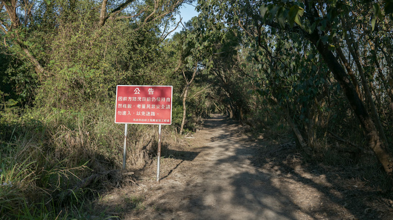
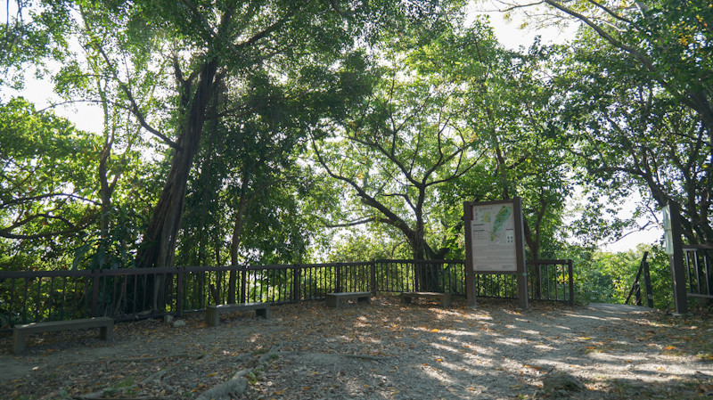
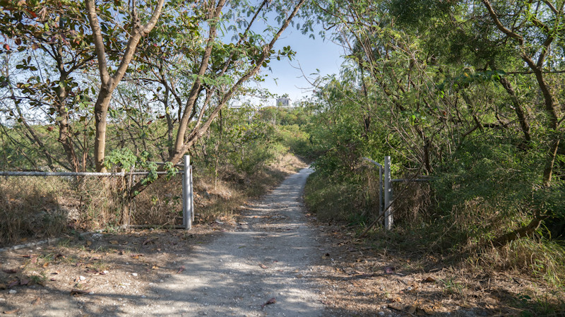
【Banpingshan Trails Information】
1. From Cuihua Road hiking trail entrance → Banpingshan Observatory:
The length of the trail is 2500M.
2. From Wan temple hiking trail entrance → Banpingshan Observatory:
The length of the trail is 2580M.
3. From Banpinghu hiking trail entrance → Banpingshan Observatory:
The length of the trail is 2500M.
拍攝前的注意事項
交通資訊
National Nature Park - Banpingshan
基本資訊
地點: Cuihua Road, Zuoying District, Kaohsiung City。 Or Banpingshan Back Lane
拍攝日期: 2025-12-30
GPS定位: 22.693192, 120.303091
景點標籤
Filming in Kaohsiung!
Provide overall assistance includes location scouting, shooting and marketing.
Support film workers achieve their dreams.